Poás
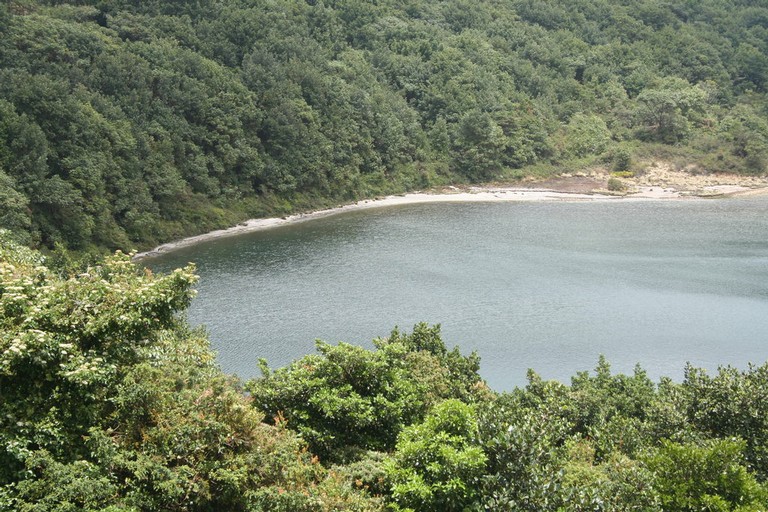
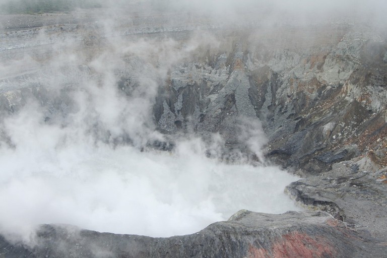
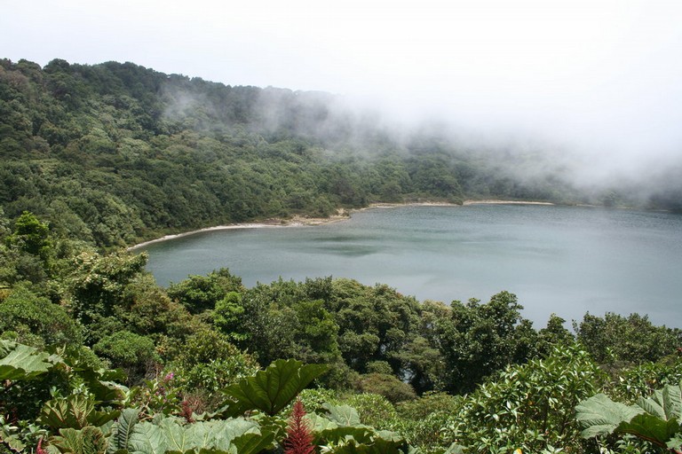
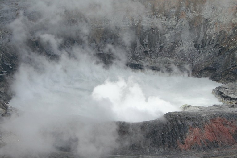
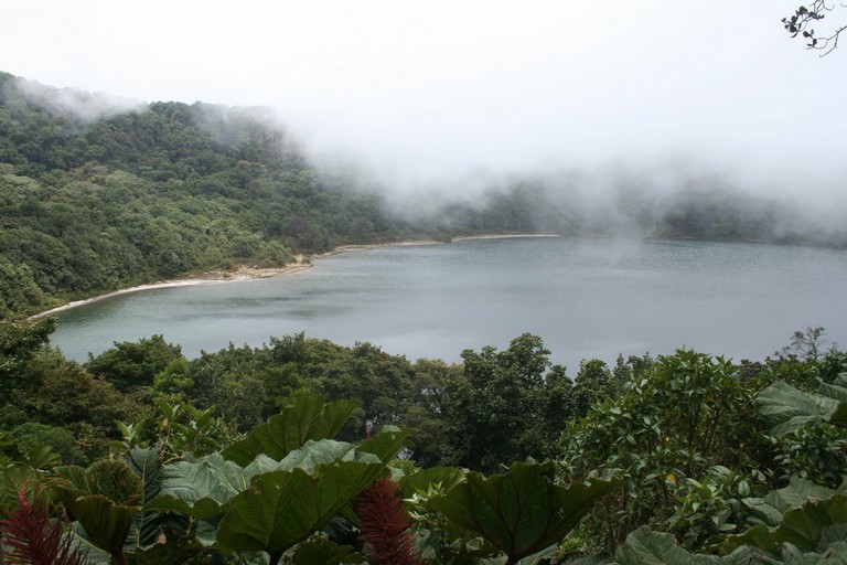
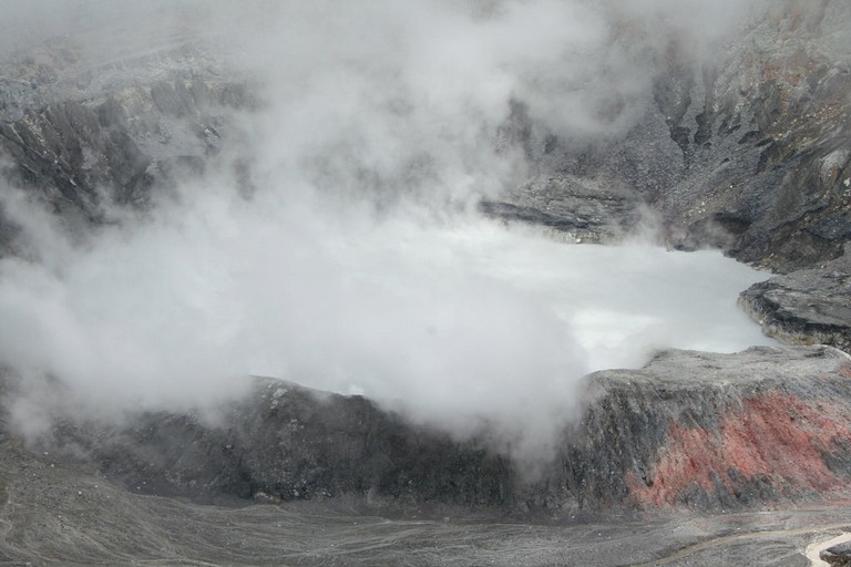
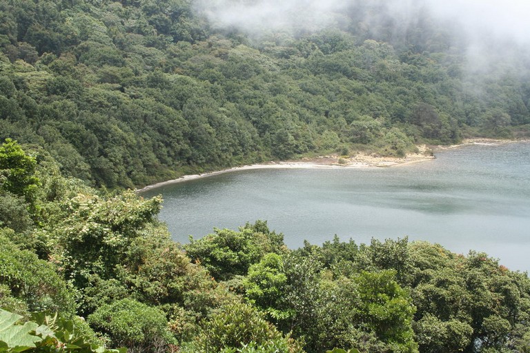
The Poás National Park and Volcano is a stratovolcano (formed by accumulation of material layers from the eruptions), that is part of the Central Volcanic Range. It is located in the Alajuela Province, and it is really easy to access. It is conformed by the former cone of Botos, now filled with cold water, the von Frantzius cone is almost 1 km away from the active cone and is partially destroyed. The main crater has a hot water lagoon that is also acid, a dome partially destroyed and one of the most actives areas, and a plane area made of sediments from recent eruptions.
The first documented eruption of the Poás volcano was in 1834. After that, an important activity occurred from 1952 to 1954, when the volcano was with a permanent column of smoke, and the lagoon that occupied the crater dried out. This activity filled the lagoon with ashes and other volcanic material that formed a cone and later was filled again with water. The shape of the volcano remained about the same since 1967. In September of 1974, the volcano erupted again in a geyser-kind eruption. From 1994 to 2006, the volcano has shown fumaroles activity.
The volcano and the surrounding area were constituted a National Park in 1971. This park receives more visitors per year than the others, and it also has one of the best infrastructures. It has a Visitor Center, viewpoints, several trails, coffee shop, picnic area, souvenir shop and exhibitions. However, in January of 2009, the area suffered an earthquake (not related to the volcano) that destroyed the neighboring towns. Now, the people are trying to recover the tourist activity and the charm that characterized the area.
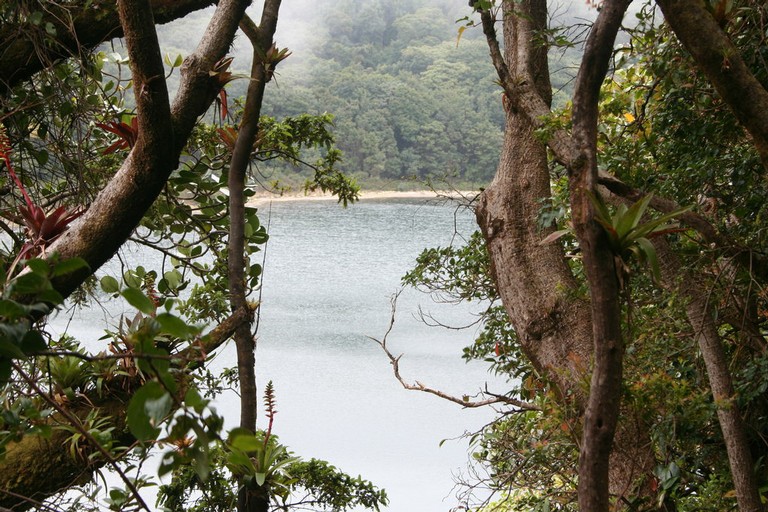
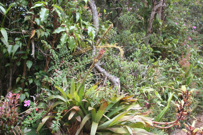
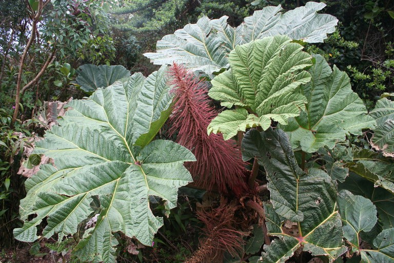
The vicinity of the volcano offers a spectacular view of the Central Valley. The vegetation of the area is typical of the highland or middle elevation forests, with great abundance of flowery shrubs, and Ericaceae. One of the plants that attract the attention of the people is the “sombrilla de pobre” (poor-man umbrella), because the leaves could measure up to 2 m in diameter. The most attractive fauna in the National Park are the birds, including quetzal, fire-throated hummingbird, green toucanet, vireos, warblers, and woodpeckers.
Sources: Observatorio Vulcanológico y Sismológico de Costa RicaChavarría, O. 2005. Costa Rica: Land of Volcanoes. EUNED. 360 p.; Area de Conservación Cordillera Volcánica Central; Boza, M. 1981. Los Parques Nacionales de Costa Rica. Incafo. 310 p.
 |
 |
